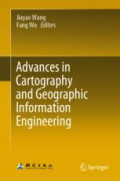
Advances in Cartography and Geographic Information Engineering
This book reviews and summarizes the development and achievement in cartography and geographic information engineering in China over the past 60 years after the founding of the People's Republic of…
- Edition
- 1
- ISBN/ISSN
- 978-981-16-0614-4
- Collation
- xxiv, 638p.:ill
- Series Title
- -
- Call Number
- 526.022 1 Adv
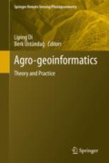
Agro-geoinformatics
This volume collects and presents the fundamentals, tools, and processes of utilizing geospatial information technologies to process remotely sensed data for use in agricultural monitoring and mana…
- Edition
- 1
- ISBN/ISSN
- 978-3-030-66387-2
- Collation
- vi, 418p.:ill
- Series Title
- -
- Call Number
- 526.022 1 Agr
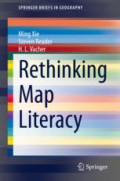
Rethinking Map Literacy
This book provides two conceptual frameworks for further investigation of map literacy and fills in a gap in map literacy studies, addressing the distinction between reference maps and thematic map…
- Edition
- 1
- ISBN/ISSN
- 978-3-030-68594-2
- Collation
- x, 126p.:ill
- Series Title
- -
- Call Number
- 526.022 1 Xie r

The Southernmost End of South America Through Cartography
This volume describes the construction of the territorial identity of the southern end of South America and analyzes the cartographic territorialization of Patagonia, Tierra del Fuego and the “Te…
- Edition
- 1
- ISBN/ISSN
- 978-3-030-65879-3
- Collation
- viii, 180p.:ill
- Series Title
- The Latin American Studies Book Series
- Call Number
- 526.022 1 Las t
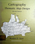
Cartography Thematic Map Design: Second Edition
- Edition
- -
- ISBN/ISSN
- 069-707-991-0
- Collation
- xiv, 416 page. : Tab.ill. ; 28 cm
- Series Title
- -
- Call Number
- 526 Den c 1990
- Edition
- -
- ISBN/ISSN
- 069-707-991-0
- Collation
- xiv, 416 page. : Tab.ill. ; 28 cm
- Series Title
- -
- Call Number
- 526 Den c 1990
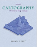
CARTOGRAPHY : Thematic Map Design
- Edition
- 5th.Ed.
- ISBN/ISSN
- 0-697-38495-0
- Collation
- xiv, 416 page. : Tab.ill. ; 28 cm
- Series Title
- -
- Call Number
- 526 Den c
- Edition
- 5th.Ed.
- ISBN/ISSN
- 0-697-38495-0
- Collation
- xiv, 416 page. : Tab.ill. ; 28 cm
- Series Title
- -
- Call Number
- 526 Den c

 Computer Science, Information & General Works
  Philosophy & Psychology
  Religion
  Social Sciences
  Language
  Pure Science
  Applied Sciences
  Art & Recreation
  Literature
  History & Geography