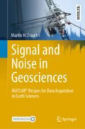
Signal and Noise in Geosciences
This textbook introduces methods of geoscientific data acquisition using MATLAB in combination with inexpensive data acquisition hardware such as sensors in smartphones, sensors that come with the …
- Edition
- 1
- ISBN/ISSN
- 978-3-030-74913-2
- Collation
- XI, 340p.:ill
- Series Title
- Springer Handbooks
- Call Number
- 526.1 Tra s
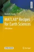
MATLAB® Recipes for Earth Sciences
MATLAB® is used in a wide range of geoscientific applications, e.g. for image processing in remote sensing, for creating and processing digital elevation models, and for analyzing time series. Thi…
- Edition
- 1
- ISBN/ISSN
- 978-3-030-38441-8
- Collation
- XII, 517p.; ill
- Series Title
- Springer Textbooks in Earth Sciences, Geography and Environment
- Call Number
- 005.131 Tra m
Search Result
Found 2 from your keywords: Author : "Trauth, Martin H."
Query took 0.00751 second(s) to complete


 Computer Science, Information & General Works
  Philosophy & Psychology
  Religion
  Social Sciences
  Language
  Pure Science
  Applied Sciences
  Art & Recreation
  Literature
  History & Geography